
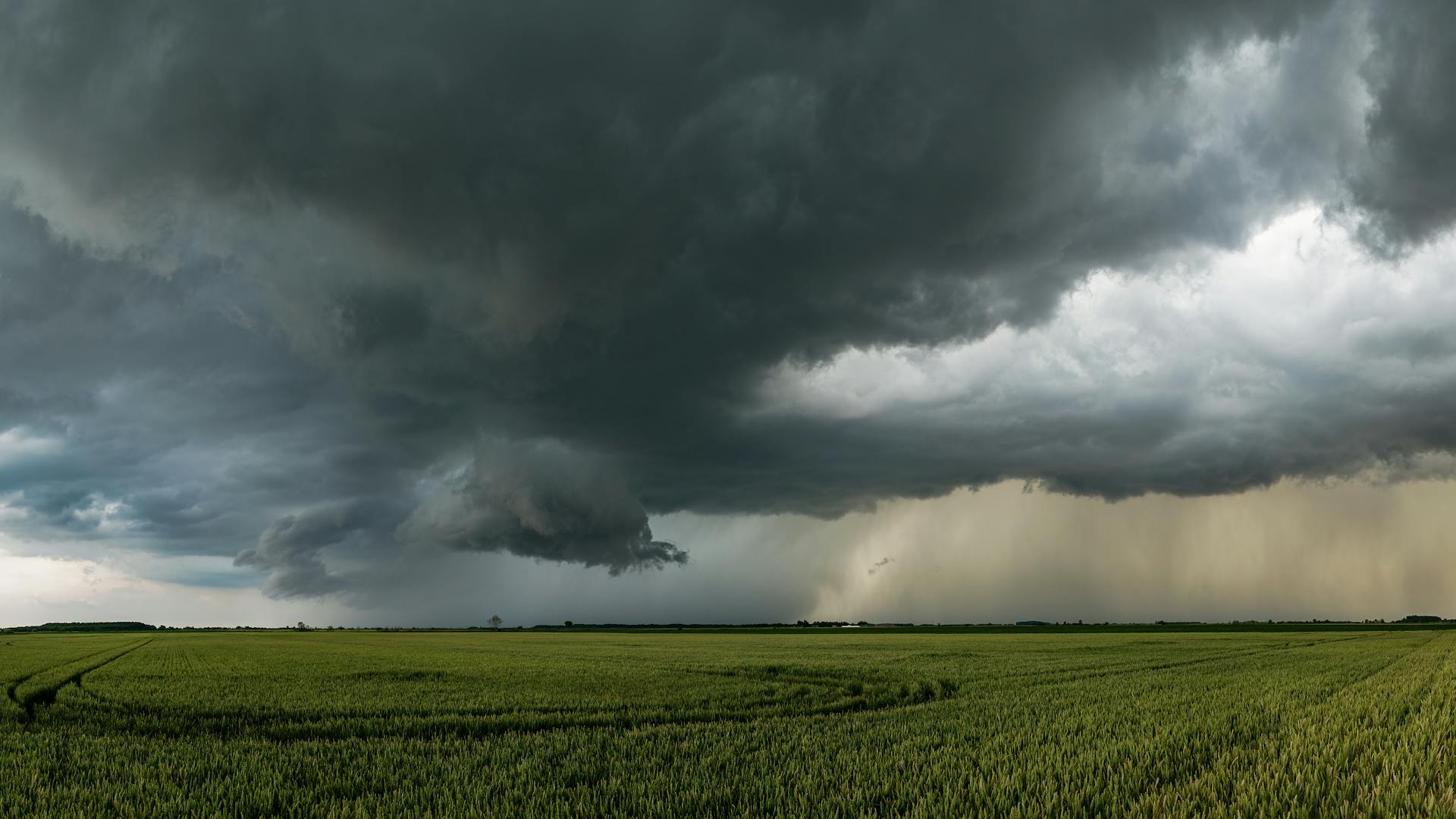
LURAY, Va. — A tornado watch has been issued for the northern Shenandoah Valley, until 8 p.m. on Wednesday, March 11, 2026.
According to the National Weather Service, severe thunderstorms could produce damaging wind gusts between 60 and 70 mph, large hail and the possibility of a few tornadoes — some of which could be strong.
This Hazardous Weather Outlook is for portions of eastern Western Virginia, northern and central Virginia, and central and western Maryland.
Counties included in the tornado watch area:
Washington
Frederick, MD
Carroll
Northern Baltimore
Northwest Montgomery
Northwest Howard
Northwest Harford
Augusta
Rockingham
Shenandoah
Frederick, VA
Page
Warren
Clarke
Nelson

Albemarle
Greene
Madison
Rappahannock
Orange
Culpeper
Northern Fauquier
Southern Fauquier
Western Loudoun
Eastern Loudoun
Northern Virginia Blue Ridge
Central Virginia Blue Ridge
Northwest Prince William
Hampshire
Morgan
Berkeley
Jefferson
Hardy
Additional severe thunderstorms may develop across the region through the evening hours, bringing the potential for damaging winds, isolated large hail and a possible tornado.

Residents are urged to monitor the latest forecasts and ensure they have a reliable way to receive weather warnings.
According to forecasters, wind gusts up to 50 mph are possible Friday afternoon into Friday night along the Blue Ridge and in the Potomac Highlands. Those winds could result in isolated damage and power outages.