
Hazardous weather expected through 7pm
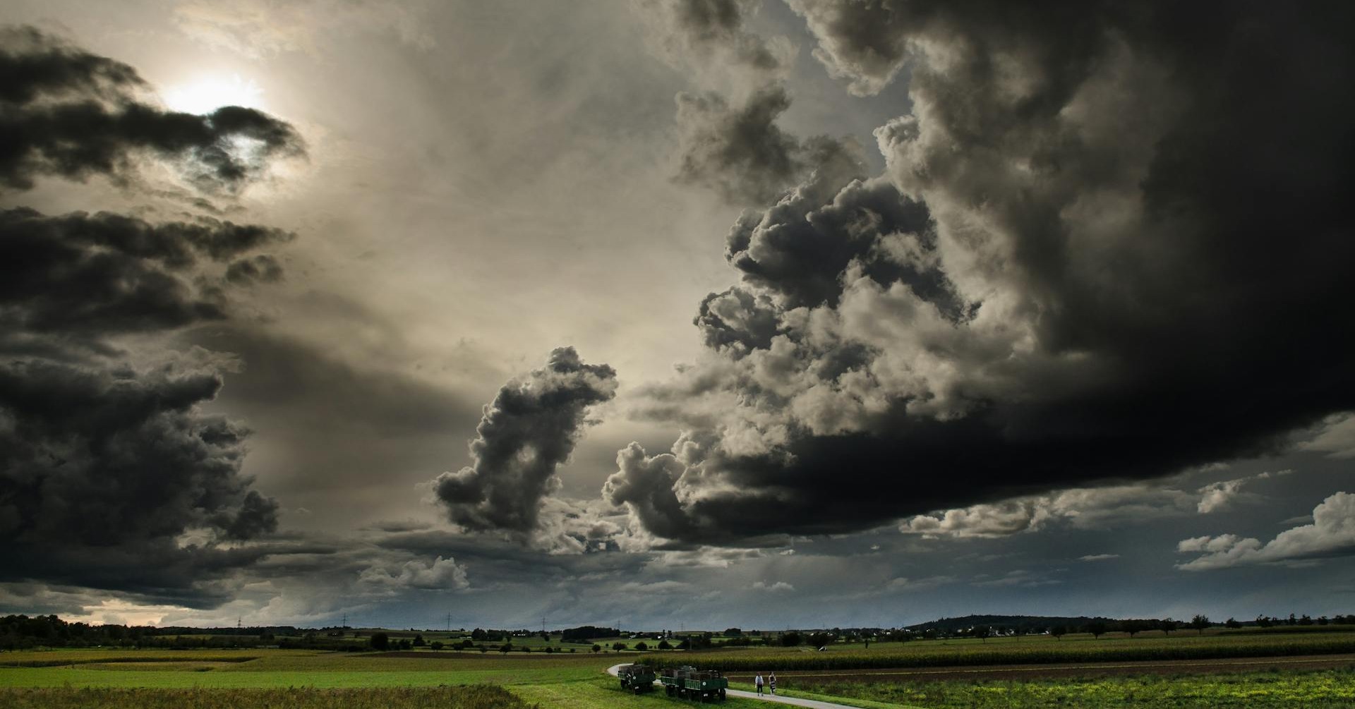
LURAY, Va. — On Sunday, the National Weather Service (NWS) in Washington D.C. issued several severe weather alerts — including a Tornado Watch for Page County and surrounding areas.
At 12:50 p.m. on March 16, the NWS issued the following statement:
A TORNADO WATCH IS IN EFFECT UNTIL 7:00 PM FOR THE FOLLOWING LOCATIONS:
Page, Augusta, Clarke, Frederick, Highland, Rockingham, Shenandoah, Warren.
A second statement was also issued at 12:50 p.m.
HAZARDOUS WEATHER OUTLOOK
This Hazardous Weather Outlook is for portions of eastern West Virginia, northern and central Virginia, and central and western Maryland.
Washington, Frederick MD, Carroll, Northern Baltimore, Northwest Montgomery, Northwest Howard, Northwest Harford, Augusta, Rockingham, Shenandoah, Frederick VA, Page, Warren, Clarke, Nelson, Albemarle, Greene, Madison, Rappahannock, Orange, Culpeper, Northern Fauquier, Southern Fauquier, Western Loudoun, Eastern Loudoun, Northern Virginia Blue Ridge, Central Virginia Blue Ridge, Northwest Prince William, Hampshire, Morgan, Berkeley, Jefferson, Hardy.
This afternoon and tonight, wind gusts up to 55 mph could result in tree and power line damage. Isolated to scattered severe thunderstorms capable of producing damaging wind gusts are possible this afternoon. A tornado or two is also possible.
A Tornado Watch is in effect until 7 PM along and west of the Blue Ridge and Catoctin Mountains. A Wind Advisory is in effect until 6 PM this evening for Harford County. Elsewhere, gusty winds to around 45 mph are possible outside of thunderstorms today, which may result in a few downed trees, branches, and power lines.
A third statement was issued at 12:59 p.m.
URGENT – WEATHER MESSAGE – WIND ADVISORY
DC, and portions of central, north central, northern, and western Maryland, central, northern, northwest, and western Virginia, and eastern West Virginia.
District of Columbia, Washington, Frederick MD, Carroll, Northern Baltimore, Southern Baltimore, Prince Georges, Anne Arundel, Extreme Western Allegany, Central and Eastern Allegany, Northwest Montgomery, Central and Southeast Montgomery, Northwest Howard, Central and Southeast Howard, Augusta, Rockingham, Shenandoah, Frederick VA, Page, Warren, Clarke, Nelson, Albemarle, Greene, Madison, Rappahannock, Culpeper, Fairfax, Arlington, Falls Church, Alexandria, Northern Fauquier, Southern Fauquier, Western Loudoun, Eastern Loudoun, Northwest Prince William, Central and Southeast Prince William, Manassas, Manassas Park, Hampshire, Morgan, Berkeley, Jefferson, Hardy, Eastern Mineral.
South winds 15 to 25 mph with gusts up to 45 to 50.
Gusty winds will blow around unsecured objects. Tree limbs could be blown down and a few power outages may result.
Winds this strong can make driving difficult, especially for high profile vehicles. Use extra caution.