
Winter storm watch issued for Tuesday into Wednesday
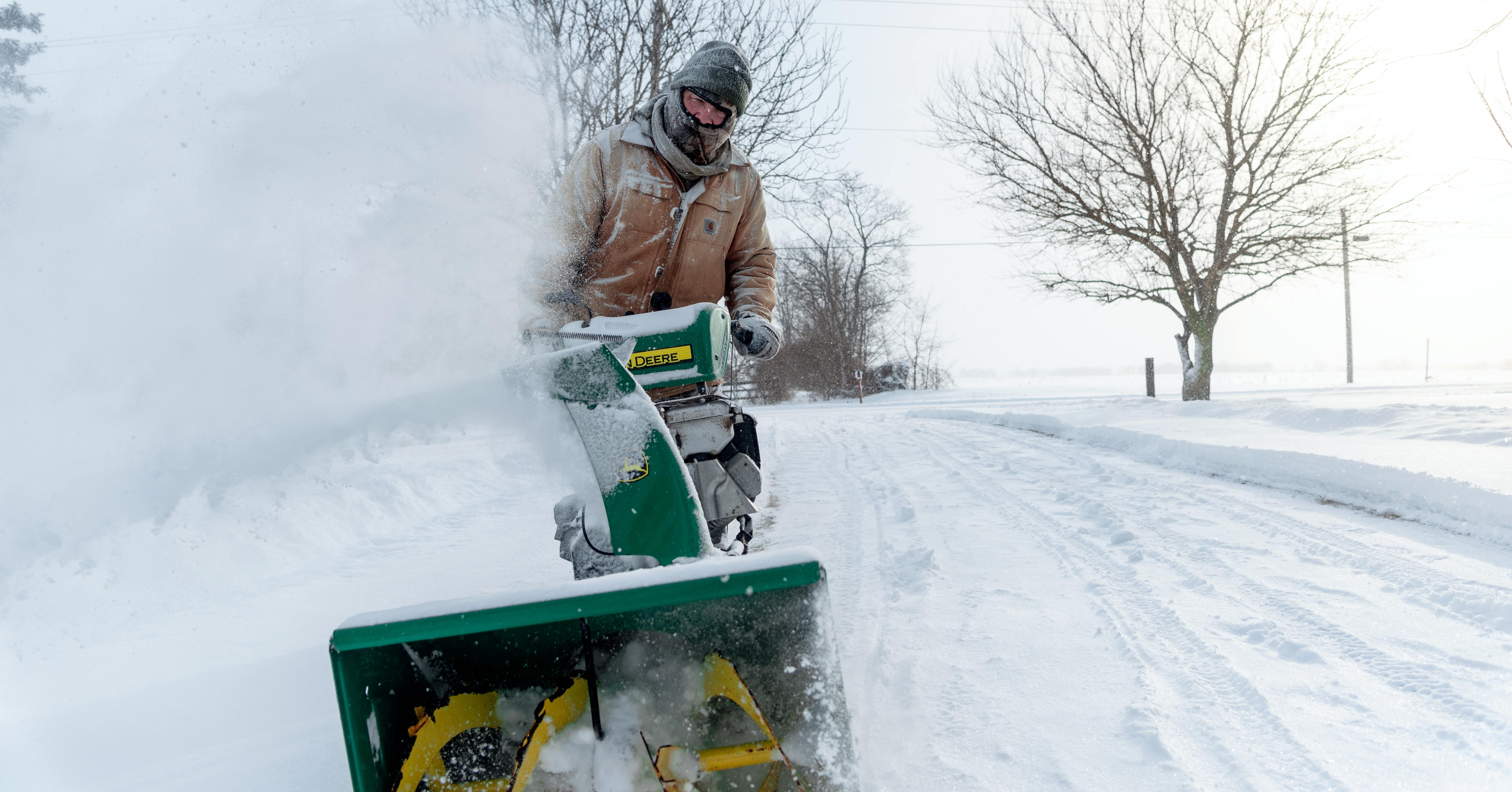
The National Weather Service (NWS) in Washington DC has issued an Urgent Winter Message regarding portions of Virginia and West Virginia including the counties of Page, Warren, Clark, Hampshire, Berkley, Jefferson and Hardy.
Just after 3 p.m. on Sunday, February 9, 2025, the NWS issued the following alert:
WINTER STORM WATCH IN EFFECT FROM TUESDAY AFTERNOON THROUGH WEDNESDAY MORNING
Heavy mixed precipitation possible. Total snow accumulations between four and six inches, with locally higher amounts possible.
Precipitation begins as light snow Tuesday afternoon. A steady snow follows Tuesday evening into Tuesday night, and the snow could be heavy at times.
Some freezing rain begins to mix with the snow late Tuesday night. Additional wintry precipitation could continue into Wednesday morning.
The announcement continued:
Persons should delay all travel if possible.
If travel is absolutely necessary, drive with extreme caution and be prepared for sudden changes in visibility. Leave plenty of room between you and the motorist ahead of you, and allow extra time to reach your destination.
Avoid sudden braking or acceleration, and be especially cautious on hills or when making turns. Make sure your car is winterized and in good working order.